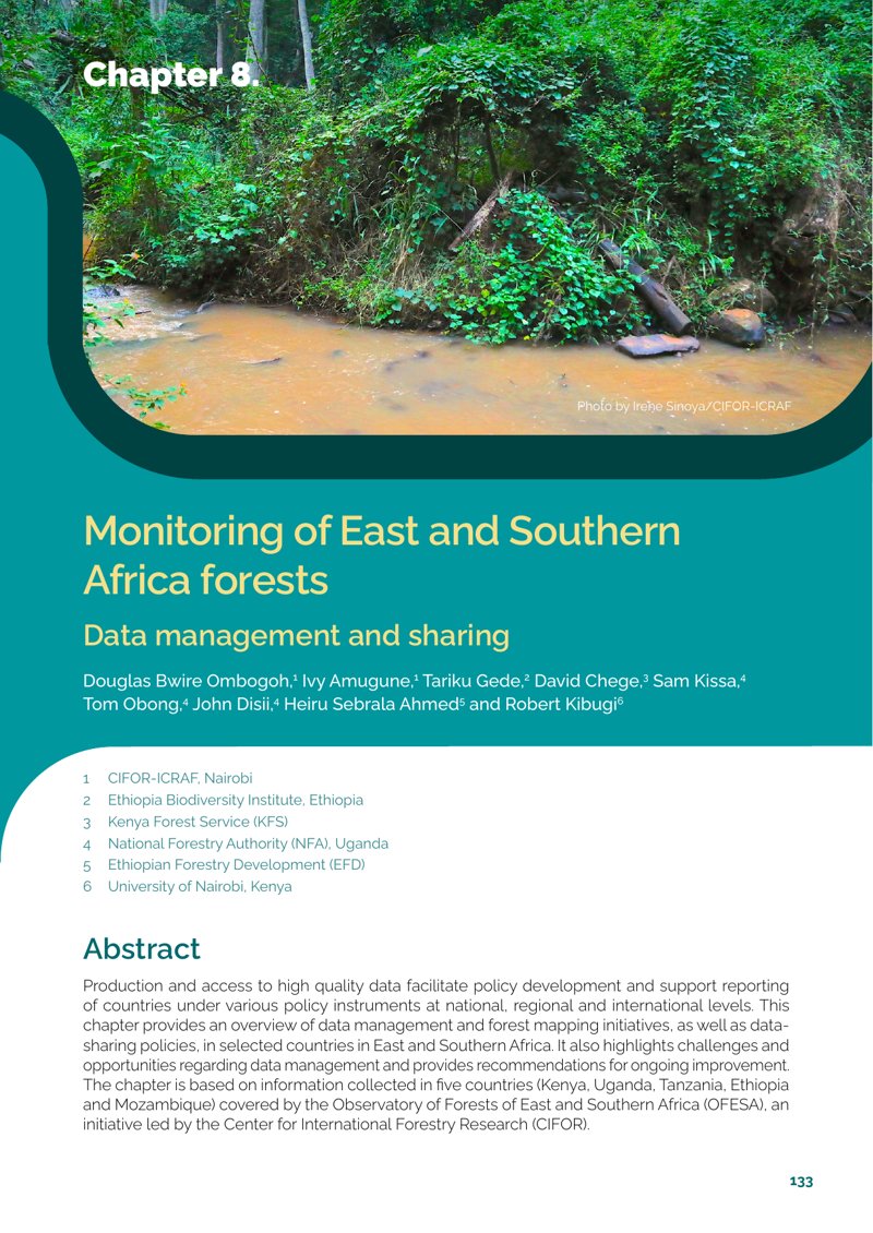
Production and access to high quality data facilitate policy development and support reporting of countries under various policy instruments at national, regional and international levels. This chapter provides an overview of data management and forest mapping initiatives, as well as datasharing policies, in selected countries in East and Southern Africa. It also highlights challenges and opportunities regarding data management and provides recommendations for ongoing improvement. The chapter is based on information collected in five countries (Kenya, Uganda, Tanzania, Ethiopia and Mozambique) covered by the Observatory of Forests of East and Southern Africa (OFESA), an initiative led by the Center for International Forestry Research (CIFOR).
This work is licensed under CC-BY 4.0
This work is licensed under CC-BY 4.0
Ekspor kutipan:
RIS (.ris)
TI  - Monitoring of East and Southern Africa forest: Data management and sharing
AU  - Ombogoh, D.B.
AU  - Amugune, I.
AU  - Gede, T.
AU  - Chege, D.
AU  - Kissa, S.
AU  - Obong, T.
AU  - Disii, J.
AU  - Ahmed, H.S.
AU  - Kibugi, R.
AB  - Production and access to high quality data facilitate policy development and support reporting of countries under various policy instruments at national, regional and international levels. This chapter provides an overview of data management and forest mapping initiatives, as well as datasharing policies, in selected countries in East and Southern Africa. It also highlights challenges and opportunities regarding data management and provides recommendations for ongoing improvement. The chapter is based on information collected in five countries (Kenya, Uganda, Tanzania, Ethiopia and Mozambique) covered by the Observatory of Forests of East and Southern Africa (OFESA), an initiative led by the Center for International Forestry Research (CIFOR).
PY  - 2026
PB  - CIFOR-ICRAF
PP  - Bogor, Indonesia and Nairobi, Kenya
UR  - https://www.cifor-icraf.org/knowledge/publication/46408/
KW  - carbon sinks, data management, forest management, forest policy, land use change, mapping, monitoring, remote sensing
ER  -
Endnote (.ciw)
%T Monitoring of East and Southern Africa forest: Data management and sharing
%A Ombogoh, D.B.
%A Amugune, I.
%A Gede, T.
%A Chege, D.
%A Kissa, S.
%A Obong, T.
%A Disii, J.
%A Ahmed, H.S.
%A Kibugi, R.
%D 2026
%I CIFOR-ICRAF
%C Bogor, Indonesia and Nairobi, Kenya
%U https://www.cifor-icraf.org/knowledge/publication/46408/
%X Production and access to high quality data facilitate policy development and support reporting of countries under various policy instruments at national, regional and international levels. This chapter provides an overview of data management and forest mapping initiatives, as well as datasharing policies, in selected countries in East and Southern Africa. It also highlights challenges and opportunities regarding data management and provides recommendations for ongoing improvement. The chapter is based on information collected in five countries (Kenya, Uganda, Tanzania, Ethiopia and Mozambique) covered by the Observatory of Forests of East and Southern Africa (OFESA), an initiative led by the Center for International Forestry Research (CIFOR).
%K carbon sinks
%K data management
%K forest management
%K forest policy
%K land use change
%K mapping
%K monitoring
%K remote sensing
Tahun publikasi
2026
Penulis
Ombogoh, D.B.; Amugune, I.; Gede, T.; Chege, D.; Kissa, S.; Obong, T.; Disii, J.; Ahmed, H.S.; Kibugi, R.
Bahasa
English
Kata kunci
carbon sinks, data management, forest management, forest policy, land use change, mapping, monitoring, remote sensing
Source
State of the Forests 2025: The Forests of the East and Southern Africa. CIFOR-ICRAF: Bogor, Indonesia and Nairobi, KenyaGeografis
Kenya, Uganda, Tanzania, Ethiopia, Mozambique