


In this project, we conduct GIS-based data processing and spatial analysis to evaluate the coverage, canopy height, biomass, and carbon of mangroves in West Africa. We first introduce study area, covering 9 countries in West Africa. We then conduct literature review on the existing work of mangrove study regarding coverage, canopy height and biomass. In Section 4, we report how we process and analyze mangrove data in the study area. The coverage of mangroves is estimated using data from NASA and USGS and relevant comparison given. Canopy heights of mangroves are derived from NASA dataset and classified into five classes to facilitate further analysis. Aboveground biomass of mangroves is estimated using empirical allometric equation which is a function of canopy height. We estimate the mean above- and belowground biomass of mangroves in our study area at two levels: regional and country. We compare and discuss the estimated mean and total biomass of mangrove forests in our study region. Further, we propose an approach that combines online available data of mangrove coverage and canopy heights to estimate biomass at regional or higher levels (in Section 4.5) and investigate possible anthropogenic impacts on mangrove forests. In the Discussion section, we provide detailed discussion on the area, canopy height, and biomass of mangroves in and across different countries in our study area. In the conclusion section, we summarize findings in this project.

CIFOR-ICRAF aborda desafios e oportunidades locais ao mesmo tempo em que oferece soluções para problemas globais para florestas, paisagens, pessoas e o planeta.
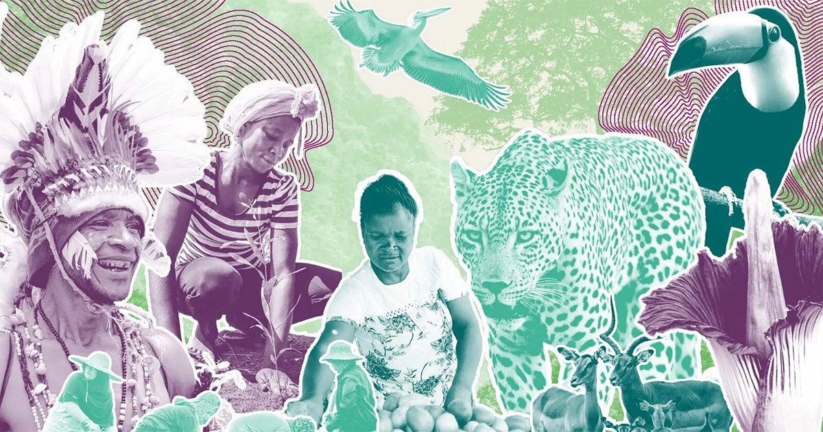
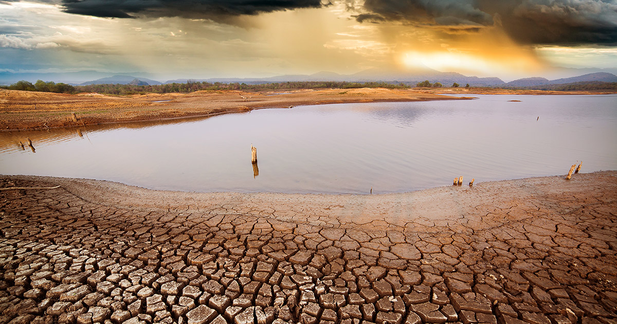
Fornecemos evidências e soluções acionáveis para transformer a forma como a terra é usada e como os alimentos são produzidos: conservando e restaurando ecossistemas, respondendo ao clima global, desnutrição, biodiversidade e crises de desertificação. Em suma, melhorar a vida das pessoas.

Explore eventos futuros e passados em todo o mundo e online, sejam hospedados pelo CIFOR-ICRAF ou com a participação de nossos pesquisadores.

Découvrez les évènements passés et à venir dans le monde entier et en ligne, qu’ils soient organisés par le CIFOR-ICRAF ou auxquels participent nos chercheurs.
Jelajahi acara-acara mendatang dan yang telah lalu di lintas global dan daring, baik itu diselenggarakan oleh CIFOR-ICRAF atau dihadiri para peneliti kami.
Explore eventos futuros y pasados organizados por CIFOR-ICRAF o con la participación de nuestros investigadores.

O CIFOR-ICRAF publica mais de 750 publicações todos os anos sobre agrossilvicultura, florestas e mudanças climáticas, restauração de paisagens, direitos, política florestal e muito mais – em vários idiomas..

CIFOR-ICRAF alcança impacto baseado na ciência. Conduzimos pesquisas inovadoras, fortalecemos a capacidade dos parceiros e nos engajamos ativamente no diálogo com todas as partes interessadas, trazendo os insights mais recentes sobre florestas, árvores, paisagens e pessoas para a tomada de decisões globais.
CIFOR-ICRAF aborda desafios e oportunidades locais ao mesmo tempo em que oferece soluções para problemas globais para florestas, paisagens, pessoas e o planeta.
Fornecemos evidências e soluções acionáveis para transformer a forma como a terra é usada e como os alimentos são produzidos: conservando e restaurando ecossistemas, respondendo ao clima global, desnutrição, biodiversidade e crises de desertificação. Em suma, melhorar a vida das pessoas.
CIFOR–ICRAF achieves science-driven impact. We conduct innovative research, strengthen partners’ capacity and actively engage in dialogue with all stakeholders, bringing the latest insights on forests, trees, landscapes and people to global decision making.
CIFOR–ICRAF publishes over 750 publications every year on agroforestry, forests and climate change, landscape restoration, rights, forest policy and much more – in multiple languages.
CIFOR–ICRAF addresses local challenges and opportunities while providing solutions to global problems for forests, landscapes, people and the planet.
We deliver actionable evidence and solutions to transform how land is used and how food is produced: conserving and restoring ecosystems, responding to the global climate, malnutrition, biodiversity and desertification crises. In short, improving people’s lives.


