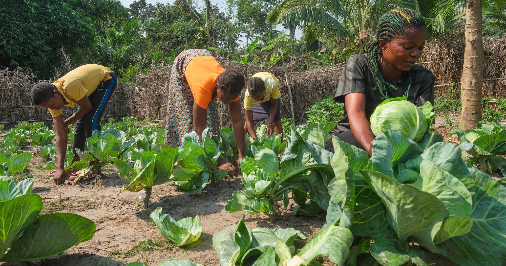
This study evaluates new multi-scale, multi-indicator methods for assessing the vulnerability of crop production to drought at a national and regional scale. It does this by identifying differences across and within ten regions of Ghana, a country that faces many climate and crop production challenges typical of sub-Saharan Africa. In particular, we illustrate how a quantitative national and regional study is a critical first step in assessing differences in the drought sensitivity of food production systems and show how such an assessment enables the formulation of more targeted district and community level research that can explore the drivers of vulnerability and change on a local-scale. Finally, we propose methodological steps that can improve drought sensitivity and vulnerability assessments in dynamic dryland farming systems where there are multiple drivers of change and thresholds of risk that vary in both space and time. Results show that the vulnerability of crop production to drought in Ghana has discernible geographical and socioeconomic patterns, with the Northern, Upper West and Upper East regions being most vulnerable. Partly, this is because these regions have the lowest adaptive capacity due to low socioeconomic development and have economies based on rain-fed agriculture. Within these regions we find considerable differences between districts that can be explained only partly by socioeconomic variables with further community and household-scale research required to explain the causes of differences in vulnerability status. Our results highlight that national and regional scale multi-indicator vulnerability assessments are a vital (and often ignored) first step in assessing vulnerability across a large area. These inputs can guide both local-level research and also demonstrate the need for region-specific policies to reduce vulnerability and to enhance drought preparedness within dryland farming communities.
DOI:
https://doi.org/10.1016/j.apgeog.2011.06.010
Dimensions Citation Count:


