


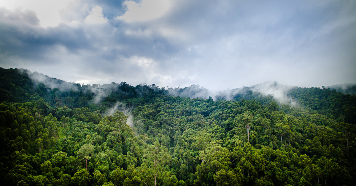


Java is the most populated island in the world. In 2000, forest area in Java covered about 2.0 million hectares but in 2005 it decreased to 1.2 million ha. Regardless of the debate on the different methodolo-gy of forest inventory applied in 2005 that resulted in under estimation gure, the decrease of forest cover in Java is obvious and needs immediate response. Spatial modeling of the deforestation will assist the policy makers to understand the process and to take it into consideration when decisions are made. More-over, the result can be used as data input to solve en-vironmental problem resulted from deforestation. We modeled the deforestation in Java by using logistic regression. Percentage of deforested area was consid-ered as the response variable, whilst biophysical and socioeconomic factors that explain the current spatial pattern in deforestation were assigned as explanatory variables. Furthermore, we predicted future defores-tation process, and then it was validated with actual deforestation derived from MODIS satellite imagery between 2000-2008.

DOI:
https://doi.org/10.4018/978-1-60960-619-0.ch018Altmetric score:
Dimensions Citation Count:
Publication year
2011
Authors
Prasetyo L B; Kartodihardjo H; Adiwibowo S; Okarda B; Setiawan Y
Language
English
Keywords
agriculture, forest cover, deforestation, land-use
Geographic
Indonesia


