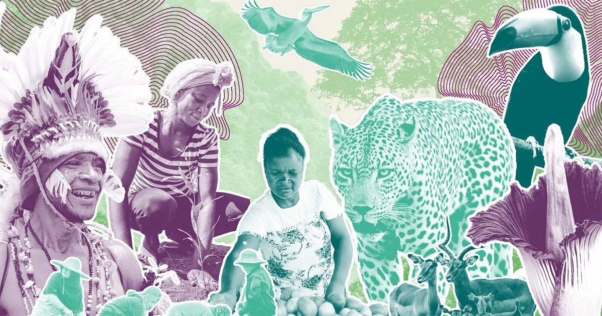
CIFOR-ICRAF berfokus pada tantangan-tantangan dan peluang lokal dalam memberikan solusi global untuk hutan, bentang alam, masyarakat, dan Bumi kita

Kami menyediakan bukti-bukti serta solusi untuk mentransformasikan bagaimana lahan dimanfaatkan dan makanan diproduksi: melindungi dan memperbaiki ekosistem, merespons iklim global, malnutrisi, keanekaragaman hayati dan krisis disertifikasi. Ringkasnya, kami berupaya untuk mendukung kehidupan yang lebih baik.

CIFOR-ICRAF menerbitkan lebih dari 750 publikasi setiap tahunnya mengenai agroforestri, hutan dan perubahan iklim, restorasi bentang alam, pemenuhan hak-hak, kebijakan hutan dan masih banyak lagi – juga tersedia dalam berbagai bahasa..

CIFOR-ICRAF berfokus pada tantangan-tantangan dan peluang lokal dalam memberikan solusi global untuk hutan, bentang alam, masyarakat, dan Bumi kita

Kami menyediakan bukti-bukti serta solusi untuk mentransformasikan bagaimana lahan dimanfaatkan dan makanan diproduksi: melindungi dan memperbaiki ekosistem, merespons iklim global, malnutrisi, keanekaragaman hayati dan krisis disertifikasi. Ringkasnya, kami berupaya untuk mendukung kehidupan yang lebih baik.

CIFOR–ICRAF publishes over 750 publications every year on agroforestry, forests and climate change, landscape restoration, rights, forest policy and much more – in multiple languages.

CIFOR–ICRAF addresses local challenges and opportunities while providing solutions to global problems for forests, landscapes, people and the planet.

We deliver actionable evidence and solutions to transform how land is used and how food is produced: conserving and restoring ecosystems, responding to the global climate, malnutrition, biodiversity and desertification crises. In short, improving people’s lives.

Application of unsupervised clustering techniques for management zone delineation: Case study of variable rate irrigation in Southern Alberta, Canada

Ekspor kutipan

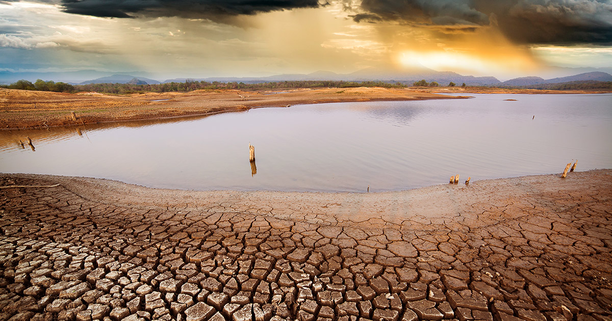
Sustainable water management is paramount to effective and efficient irrigation water management. Over decades, excessive irrigation water application has caused erosion, poor crop quality, water logging, salinity, and wastage of scarce water resources. Variable rate irrigation (VRI) is a recent technique that aids the application of irrigation water according to crop needs and soil physical and chemical properties. A challenge in applying VRI is the determination of appropriate water management zones (MZs). Two software and associated clustering techniques stand out as the best in determining the optimal number of MZs: management zone analyst (MZA), based on a fuzzy c-means algorithm, and regionalization with constrained clustering and partitioning (REDCAP), based on combinatorial graph theory. This study assesses the two techniques for VRI application on a 44 ha field in southern Alberta, Canada, using electrical conductivity (EC) and land elevation. Wedges of 8° and 24° generated the same number of optimal MZ classifications, although the heterogeneities in the 8° wedges were greater than those for the 24° wedges, although it seems that using 24° wedges may mask soil properties, such as the apparent soil EC or elevation, that are critical to crop productivity and efficient water application; however, in terms of costs, in this field, 24° wedges with MZA software appear to be the optimal solution. This study highlights the effectiveness of the two techniques and shows how they can be used to create or classify MZs for VRI. © 2015 American Society of Civil Engineers.

DOI:
https://doi.org/10.1061/(ASCE)IR.1943-4774.0000936
Jumlah Kutipan Dimensi:

    Tahun publikasi

    2016

    Penulis

    Boluwade A; Madramootoo C; Yari A

    Bahasa

    English

    Kata kunci

    sustainable water management, irrigation water management, erosion, water logging

    Geografis

    Canada

Publikasi terkait